Introduction
MapProvision is a web application that facilitates the uploading and managing of your spatial data. This data can then be represented as layers
and visualizations embedded in your website, blog or intranet.
The MapProvision application consists of two main components:
- Manager: Used to upload and organise you spatial data sets into Data Collections.
- Viewer: Used to view your Data Collections via a Map View portal designed to be easily embedded in your website.
MapProvision can represent spatial data in a number of unique Layers and Visualizations.
The different Geographic Layers supported are:
The different spatially aware Visualizations currently supported are:
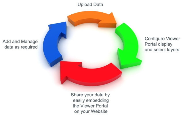
High level workflow for using MapProvision.
|
|
|
|