|
|
|
||
|---|---|---|
|
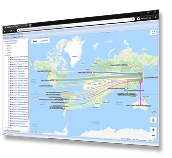
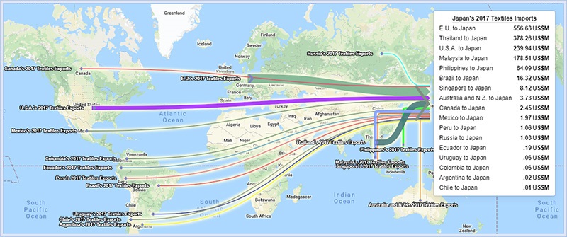
| Read more about it here on our | Blog | Or start playing with the demonstration World Trade Organization import/export data set here |  |
|---|

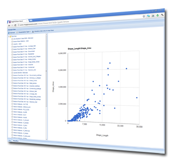
| UPLOAD |
|---|
|
|
|
|
| MANAGE |
|---|
|
 |
|
|
| PUBLISH |
|---|
|
 |
|
|
| TRY IT NOW |
|---|


 Have you got GIS data you want your users to interact with on the web?