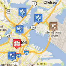
Images Images
The Image layer allows your dataset's values to be represented by your own images which you can upload
using the Image Layer tool. Images can be uploaded and then be used to
form your image set where each image in the image set is represented by a value of your choosing. This way
a dataset's value can be used to show many different images depending on their value.
The images that you upload can be used across multiple Image Layers that you define.
If no image is associated with the points value then the default Google Maps placemark is used.
A great resource to find and customize free icons that you may require in your datasets is the following
Map Icons page. You can then link these icons to your
spatial data using the Image Layer tool.
|